GIS applications in global environmental protection
Add bookmark
We respect your privacy, by clicking "Download Your Copy" you agree to having your details passed onto the sponsor who may promote similar products and services related to your area of interest subject to their privacy policy. You have the right to object. In addition, you will receive our e-newsletter, including information on related online learning opportunities. For further information on how we process and monitor your personal data, and information about your privacy and opt-out rights, click here.
The practical applications of a mix scale approach involving GIS and remote sensing offers governments and enterprises a solution for monitoring the carrying capacity of fragile ecosystems, such as the River Niger Delta.
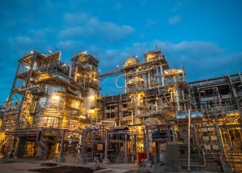
In the last decades, policy debates within the field of global environmental protection have identified the continuous release of carbon into the atmosphere from the consumption of fossil fuels emanating from oil and gas activities. This article uses descriptive statistics, geographic information systems (GIS) and remote sensing techniques to examine fossil fuel emission trends and the state of emission sinks in a tropical ecosystem using Nigeria and Ghana as case study.
Research was conducted by comparing data from Carbon Dioxide Information Analysis Center, Oak Ridge National Laboratory National Energy Center coupled with land use and land cover analysis from Landsat images. The results showed that the study area experienced significant changes in its emission of fossil fuel due to the burning of oil and gas.
The land cover area analysis shows the extent and nature of variation in carbon sinks (forest areas) were also quite pronounced in the oil rich Niger Delta of Nigeria. In the conclusions, this paper outlines various policy recommendations made up of continuous involvement for national and city governments in global forums, setting up of regional information network for West Africa, the development of energy efficiency and economic diversification in the region as well as policy research and development.
This paper suggests a Regional Information Network for West Africa.
Click the red button to download your FREE copy of the research paper by Dr Yaw A Twumasi
This paper was orginally posted at Academia.net and is reproduced with permission from the author.